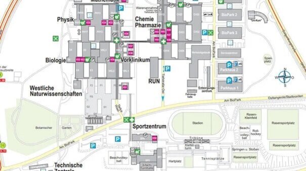
Site maps/Directions
How to get to the University of Regensburg.
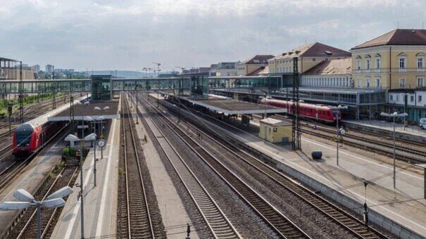
Take the train to Regensburg Central Station,
then by taxi
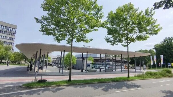
or bus number 6 (Klinikum)
or 11 (Burgweinting) to the ‘Mensa’ stop.
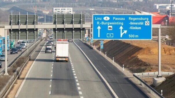
By car (via the Regensburg motorway junction) on the A3
until you reach junction 100a: University & Hospital.
Finding your way around the University of Regensburg
Most of the University of Regensburg’s facilities and buildings are situated on the 150-hectare campus, which is located in the south of Regensburg. In addition to directions and site maps, we have compiled further information to help you find your way (external link, opens in a new window) to the UR.